
BIM & 3D Modeling Solutions
Intelligent Digital Modeling for Smarter Project Delivery
GeoPoint Solution delivers advanced BIM and 3D modeling solutions that improve project coordination, visualization, collaboration, and construction efficiency across infrastructure and construction projects worldwide.
We help engineering consultants, architects, contractors, and infrastructure organizations transform design concepts and survey data into intelligent, coordinated, and data-rich BIM environments.
Get Free Consultation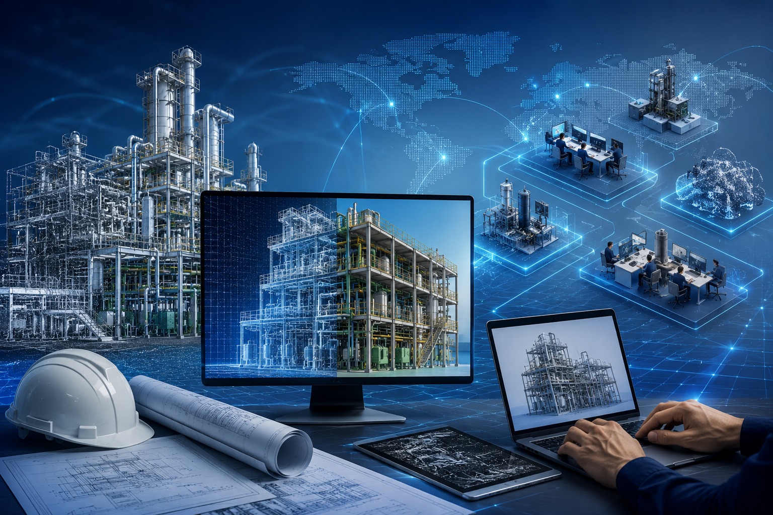
Comprehensive BIM & Digital Modeling Services
Our BIM and 3D modeling solutions are designed to support projects throughout the design, construction, and operational lifecycle.
Scan-to-BIM Modeling
Converting point cloud and survey datasets into accurate BIM models for renovation and infrastructure projects.
Architectural BIM Modeling
Intelligent architectural BIM models improving planning, visualization, and design coordination.
Structural BIM Modeling
High-accuracy structural BIM solutions supporting engineering analysis and construction workflows.
MEP BIM Modeling
Coordinated mechanical, electrical, and plumbing BIM models improving system integration.
Point Cloud to Revit Conversion
Transforming laser scan and LiDAR datasets into precise Revit-based BIM environments.
Clash Detection & Coordination
Identifying project conflicts and improving coordination between multiple engineering disciplines.
BIM Documentation & Sheet Production
Generating detailed BIM documentation, layouts, schedules, and construction-ready sheets.
As-Built BIM & Digital Twin Solutions
Developing intelligent as-built BIM environments and digital asset models for facility management.
BIM Solutions for Diverse Industries
Supporting infrastructure, construction, utility, and industrial projects with intelligent BIM workflows and coordinated digital environments.
Architecture, Engineering & Construction
Intelligent BIM coordination supporting planning, design, and construction workflows.
Infrastructure & Transportation
BIM-driven workflows improving coordination and infrastructure project delivery.
Utilities & Energy
Coordinated BIM environments supporting utility systems and energy infrastructure.
Industrial & Commercial Facilities
High-accuracy digital models supporting industrial and commercial developments.
Telecom & Smart Infrastructure
BIM integration workflows supporting smart infrastructure and telecom projects.
Land Development & Urban Planning
Coordinated BIM solutions supporting urban development and planning initiatives.
Precision BIM. Connected Workflows.
GeoPoint Solution combines advanced BIM workflows, scalable delivery capabilities, and coordinated digital modeling solutions to improve project efficiency and streamline construction execution.
Experienced BIM Specialists
Skilled BIM professionals delivering intelligent and coordinated digital environments.
High-Accuracy Digital Workflows
Precision-driven BIM workflows supporting coordination, visualization, and execution.
Faster Turnaround & Delivery
Optimized BIM production processes ensuring reliable and timely project delivery.
Quality-Controlled BIM Production
Multi-level quality checks ensuring model accuracy and coordinated project outputs.
Flexible Engagement Models
Scalable collaboration models supporting different BIM project requirements.
Collaborative Project Coordination
Coordinated workflows improving communication and multi-discipline integration.
Transforming Data into Engineered Reality.
Connect with GeoPoint Solution to discuss your geospatial project requirements.