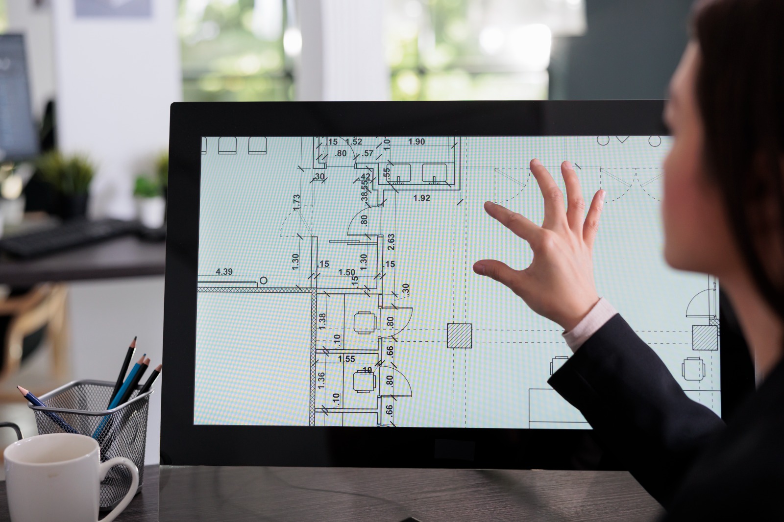
Transforming Data into Engineered Reality
About GeoPoint Solution
Engineering Precision. Geospatial Intelligence. Delivered at Scale.
GeoPoint Solution is a global digital engineering and geospatial intelligence company delivering advanced solutions in CAD design, BIM modeling, GIS mapping, LiDAR processing, remote sensing, and spatial data management.
We help organizations transform complex engineering and geospatial data into accurate, scalable, and decision-ready solutions that improve project efficiency, collaboration, and execution across infrastructure, utilities, construction, and land development projects worldwide.
150+
Satisfied Clients
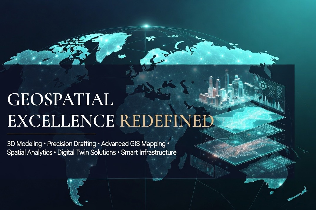
Engineering Spatial Intelligence
GeoPoint Solution delivers advanced CAD, BIM, GIS, LiDAR, and precision mapping services — transforming complex spatial data into accurate engineering solutions.
Smart Engineering & Spatial Intelligence
GeoPoint Solution delivers advanced engineering, BIM, GIS, LiDAR, remote sensing, and spatial data solutions for infrastructure, utilities, construction, land development, and geospatial projects worldwide.
Engineering Design & CAD Services
Precision drafting and engineering documentation workflows.
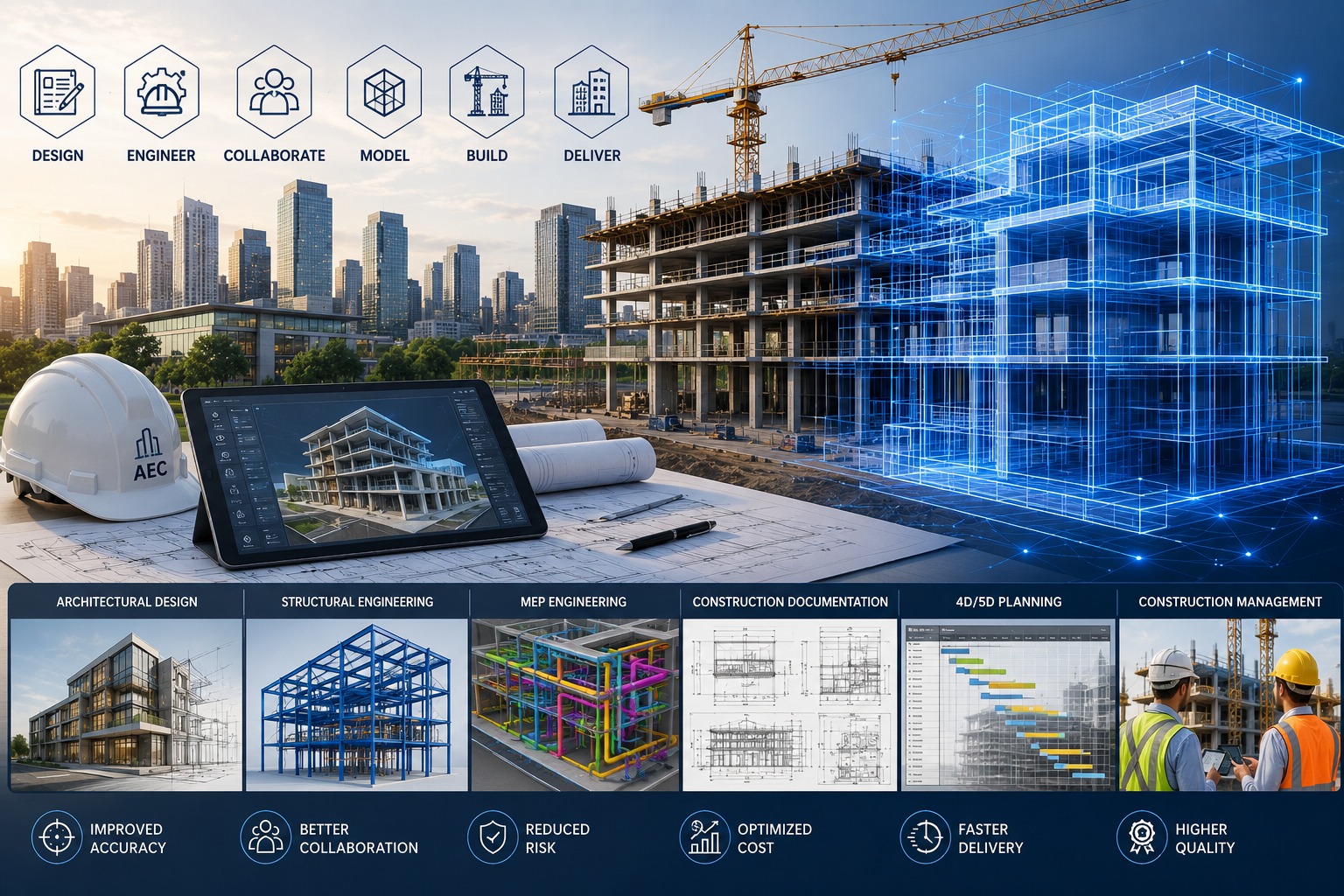
BIM & 3D Modeling Solutions
Coordinated BIM workflows and intelligent modeling solutions.
Digital Engineering & Workflow Support
Integrated workflows improving coordination and productivity.
Infrastructure & Utility Mapping
Smart mapping solutions supporting connected infrastructure.
GIS & Spatial Data Management
Advanced GIS mapping and spatial intelligence solutions.
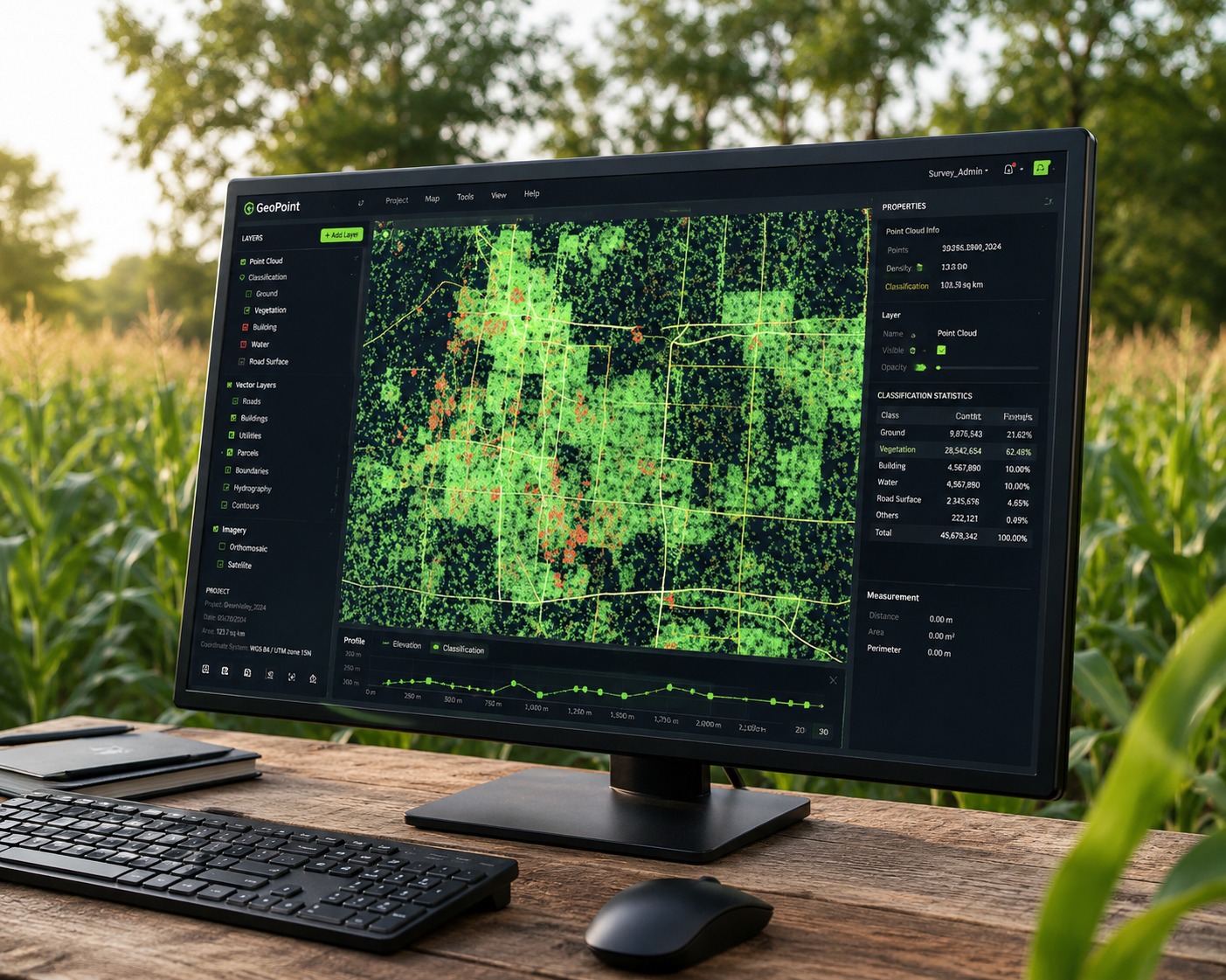
LiDAR & Point Cloud Processing
High-accuracy point cloud and terrain intelligence processing.
Remote Sensing & Earth Observation
Satellite, aerial, and drone imagery processing solutions.
Digital Solutions & Creative Services
Complete digital solutions helping businesses grow through technology and branding.
Get Your Free Consultation
Connect with GeoPoint Solution to discuss your engineering, BIM, GIS, LiDAR, or geospatial project requirements. Our experts are ready to help you streamline workflows, improve accuracy, and deliver high-quality project outcomes with confidence.
End-to-End Digital Delivery
Structured engineering and geospatial workflows designed for precision, efficiency, and reliable project execution.
Data Acquisition
Capturing accurate survey and spatial data using advanced technologies.
Planning & Analysis
Structuring project data into clear engineering and geospatial workflows.
Engineering & Production
Executing CAD, BIM, GIS, and mapping workflows with precision.
Quality Assurance
Ensuring accuracy and consistency through multi-level quality checks.
Final Delivery
Delivering reliable outputs optimized for execution and project success.
What Our Clients Say