
Transforming Data into Engineered Reality

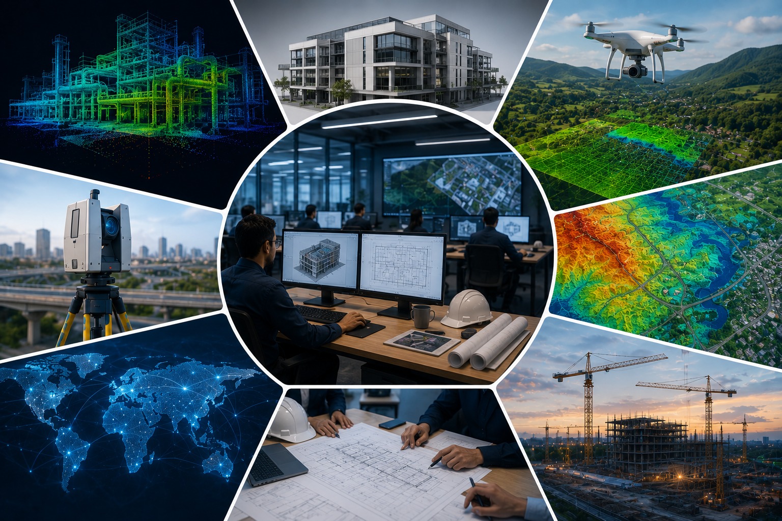
We integrate CAD engineering, BIM modeling, GIS, LiDAR processing, and remote sensing into unified digital workflows — delivering precision-driven outcomes across the entire project lifecycle.

About GeoPoint Solution

Engineering Precision. Geospatial Intelligence. Delivered at Scale.

GeoPoint Solution is a global digital engineering and geospatial intelligence company delivering advanced solutions in CAD design, BIM modeling, GIS mapping, LiDAR processing, remote sensing, and spatial data management.

We help organizations transform complex engineering and geospatial data into accurate, scalable, and decision-ready solutions that improve project efficiency, collaboration, and execution across infrastructure, utilities, construction, and land development projects worldwide.

whatsapp image 2026 05 11 at 10.14.34 (14)
GeoPoint Solution

150+

Satisfied Clients

Proven Expertise • Trusted Globally

Engineering Spatial Intelligence

GeoPoint Solution delivers advanced CAD, BIM, GIS, LiDAR, and precision mapping services — transforming complex spatial data into accurate engineering solutions.

CAD Engineering
BIM Modeling
GIS Solutions
LiDAR Processing
Explore More
Integrated Engineering • BIM • Geospatial Solutions

Smart Engineering & Spatial Intelligence

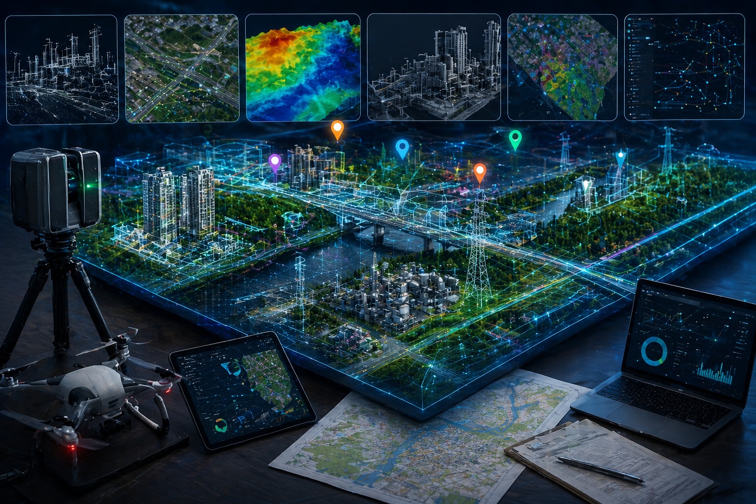
GeoPoint Solution delivers advanced engineering, BIM, GIS, LiDAR, remote sensing, and spatial data solutions for infrastructure, utilities, construction, land development, and geospatial projects worldwide.
WhatsApp Image 2026 05 11 At 10.14.34 1

Engineering Design & CAD Services

Precision drafting and engineering documentation workflows.
Civil, Structural, Architectural & MEP Drafting
Shop Drawings & Construction Documentation
CAD Conversion & Design Detailing
Redline Markups & As-Built Updates
Quantity Take-Offs & BOQ Support
Standardized & Code-Compliant Deliverables
Delivering accurate construction-ready documentation.
WhatsApp Image 2026 05 11 At 10.14.34 8

BIM & 3D Modeling Solutions

Coordinated BIM workflows and intelligent modeling solutions.

Scan-to-BIM Modeling
Architectural, Structural & MEP BIM Models
Point Cloud to Revit Conversion
Clash Detection & Coordination
BIM Documentation & Sheet Production
Digital Twin Support
Information-rich BIM environments for modern projects.
WhatsApp Image 2026 05 11 At 10.14.34 9

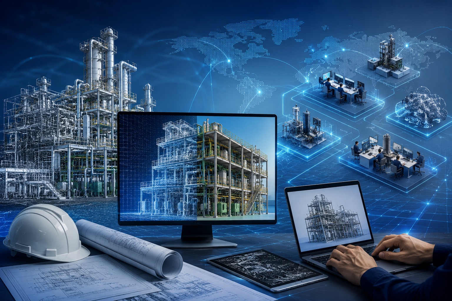
Digital Engineering & Workflow Support

Integrated workflows improving coordination and productivity.
BIM-GIS Integration
Workflow Automation
CAD & GIS Standardization
Cloud-Based Coordination
Spatial Data Integration
Engineering Data Management
Helping organizations streamline workflows.
WhatsApp Image 2026 05 11 At 10.14.34 7

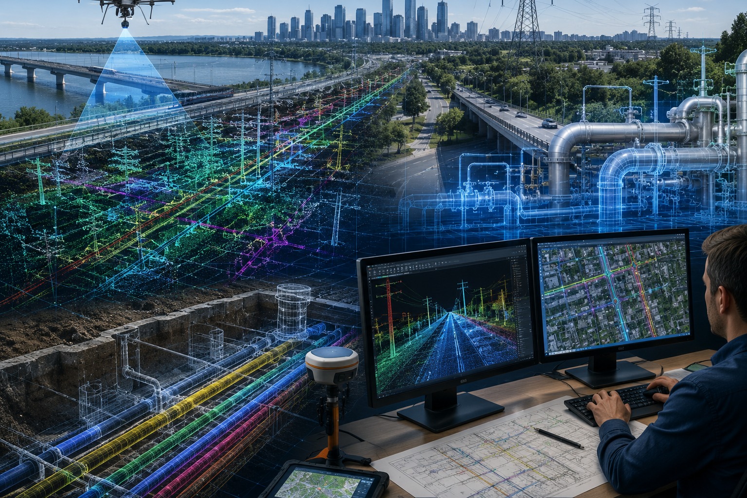
Infrastructure & Utility Mapping

Smart mapping solutions supporting connected infrastructure.
Utility Network Mapping
Transportation & Corridor Mapping
Smart City Mapping
ROW & Easement Mapping
Asset Digitization
Spatial Integration
Accurate mapping and geospatial intelligence.
WhatsApp Image 2026 05 11 At 10.14.34 4

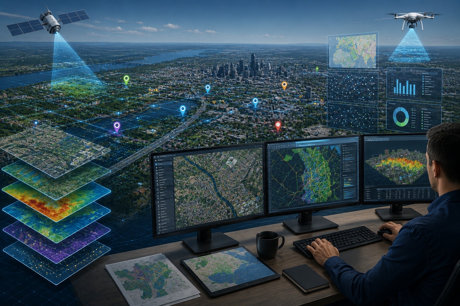
GIS & Spatial Data Management

Advanced GIS mapping and spatial intelligence solutions.
GIS Mapping & Spatial Analysis
Utility & Asset Mapping
Spatial Database Development
Web GIS & Dashboard Support
Network & Route Analysis
Data Conversion & Management
Improving visibility and operational efficiency.
WhatsApp Image 2026 05 11 At 10.14.34 2

LiDAR & Point Cloud Processing

High-accuracy point cloud and terrain intelligence processing.

Point Cloud Classification
Feature Extraction & Digitization
DTM, DSM & Contour Generation
Terrain & Surface Modeling
Corridor Mapping
Engineering-Ready CAD/GIS Outputs
Reliable deliverables for engineering projects.
WhatsApp Image 2026 05 11 At 10.14.34 13

Remote Sensing & Earth Observation

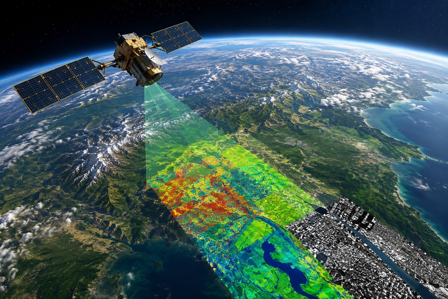
Satellite, aerial, and drone imagery processing solutions.

Satellite Imagery Processing
Drone & Aerial Image Processing
Orthophoto Generation
Land Use / Land Cover Mapping
Change Detection Analysis
Environmental Monitoring
Smarter planning and monitoring insights.
It 1 Scaled

Digital Solutions & Creative Services

Complete digital solutions helping businesses grow through technology and branding.

Website Design & Development
Custom Software Development
Mobile App Development
Digital Marketing Solutions
Social Media Management
Creative Graphic Designing
Video Editing & Motion Graphics
Business Branding Solutions
Delivering scalable technology solutions and creative digital experiences for business growth.

Get Your Free Consultation

Connect with GeoPoint Solution to discuss your engineering, BIM, GIS, LiDAR, or geospatial project requirements. Our experts are ready to help you streamline workflows, improve accuracy, and deliver high-quality project outcomes with confidence.

OUR PROCESS

End-to-End Digital Delivery

Structured engineering and geospatial workflows designed for precision, efficiency, and reliable project execution.

01

Data Acquisition

Capturing accurate survey and spatial data using advanced technologies.

02

Planning & Analysis

Structuring project data into clear engineering and geospatial workflows.

03

Engineering & Production

Executing CAD, BIM, GIS, and mapping workflows with precision.

04

Quality Assurance

Ensuring accuracy and consistency through multi-level quality checks.

05

Final Delivery

Delivering reliable outputs optimized for execution and project success.

What Our Clients Say

“GeoPoint Solution consistently delivered highly accurate engineering and geospatial outputs with excellent turnaround time. Their team integrated seamlessly with our workflows and maintained exceptional quality throughout the project.”
off3
Project Manager
Infrastructure Consulting Firm
“Their BIM and CAD production support helped us streamline coordination and accelerate project delivery timelines. Professional communication, technical expertise, and reliable execution made them a valuable offshore partner.”
off 2
Senior BIM Coordinator
Construction Company
“We were impressed by their LiDAR processing and spatial data management capabilities. The team delivered high-quality results while maintaining flexibility, consistency, and strong project collaboration.”
off 1
Geospatial Project Director
Survey & Mapping Company

Our Recent Projects

You can use these sections to highlight the features of heading. Use these paragraphs to focus on the topic you want. Make sure you keep it short and attractive.

A Great Mega Project

01.

High Tower Building

02.

Skyscraper Project

03.

National Museum

04.

Skyscraper Tower

05.

Big Company Headquarter

06.
Satisfied Clients
+
Projects Delivered
+
Industry Domains Supported
+